Benefits of a Drone Lidar Technology
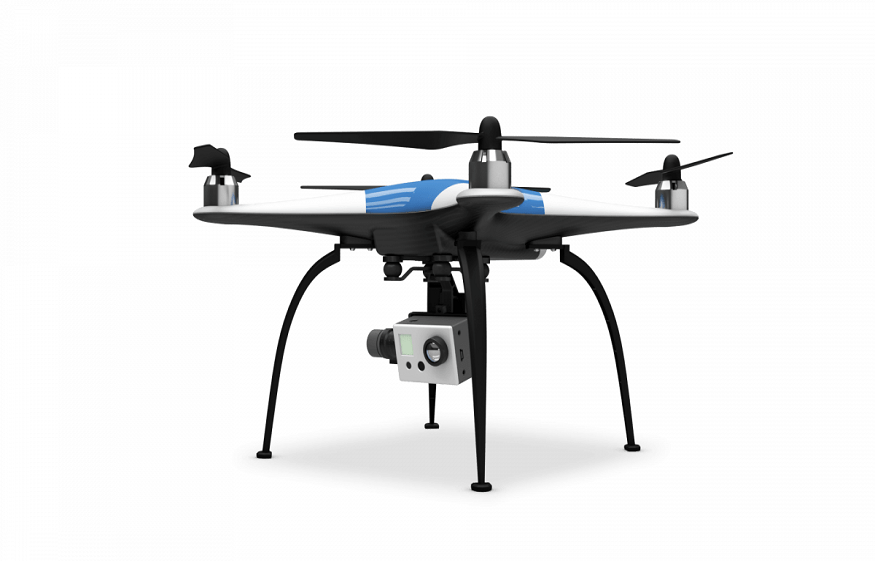
The need for 3D imaging and the expansion of drone technology has led to rapid growth in LiDAR technology. A LiDAR (light detection and ranging) is a light image detection and ranging. A LiDAR in a drone uses oscillating mirrors to send out laser pulses in any direction to generate a sheet of light as the drone moves forward. By measuring the timing and the intensity of the returning vibrations, it can provide readings to the terrain and points on the ground.
The LiDAR technology applies in many different industries, including land development, forestry, mining, construction, surveying, and more. This is mainly because of its unique data collection as well as accuracy. It is one of the most preferred remote sensing technologies in the world today. In addition, it integrates with other data sources, which makes it easier to analyze complex data automatically. This technology is independent of extreme weather conditions (e.g., extreme sunlight and different weather scenarios). This means that data can be collected under any weather condition and sent for analysis.
On the other hand, radar is a detection system that uses radio waves to determine objects’ distance, angle, or velocity. It can be used to detect aircraft, ships, spacecraft, and guided missiles, among others. Here are some of the benefits of using a drone RADAR LiDAR
Accuracy
Above all, LiDAR technology offers incredibly accurate and consistent results. The short wavelength of this technology detects even tiny objects in the ground and creates exact 3D models. This makes it possible to determine what the things are, whether it is a tree, a person, or a wall.
Can Collect From a Variety Of Locations
Inaccessible places, such as high mountains or dense forests, and rugged to reach areas, can easily be mapped using LiDAR technology. The LiDAR gives a much higher surface density than other data collection methods (e.g., photogrammetry). This improves the results for some kinds of applications, such as the floodplain delineation.
Automated Functionality
This technology consists of primarily automated processes. While experienced pilots are necessary to operate the drone radar LiDAR, it is more efficient than other methods of surveying that require more hands-on involvement. Unlike photogrammetry and surveying, LIDAR technology has minimum human dependence.
Speed
The LiDAR technology surveys large areas; hence speed is essential. The sensor sends out laser pulses and receives them back in nanoseconds, making it possible to scan large areas in a relatively short period and still get a high volume of data.
Low Cost
Considering the speed and large area that is scan-able coupled with the highly accurate results, it is true to say the LiDAR technology is way cheaper than the traditional means of doing the survey. It is an affordable way to produce complex topographical surveys.
Can Be Used Day And Night.
The active illumination sensor helps the LiDAR technology during the day and night. This sensor is not affected by light variations such as darkness and light. In addition, the LiDAR has sensors that are not affected by any geometric distortions like the angular landscape, unlike other forms of data collection. The drone RADAR LiDAR is good at surveying and astronomy.